-

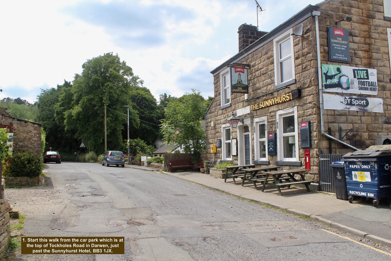
- 1. Start this walk from the car park which is at the top of Tockholes Road in Darwen, just past the Sunnyhurst Hotel, BB3 1JX.
-

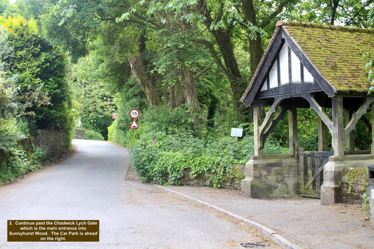
- 2. Continue past the Chadwick Lych Gate which is the main entrance into Sunnyhurst Wood. The Car Park is ahead on the right.
-

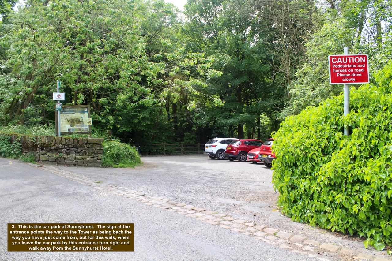
- 3. This is the car park at Sunnyhurst. The sign at the entrance points the way to the Tower as being back the way you have just come from, but for this walk, when you leave the car park by this entrance turn right and walk away from the Sunnyhurst Hotel.
-

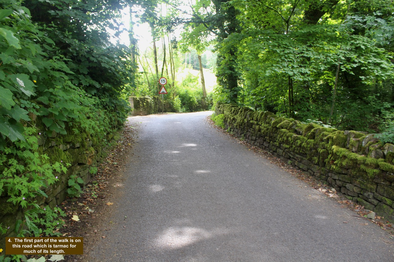
- 4. The first part of the walk is on this road which is tarmac for much of its length.
-

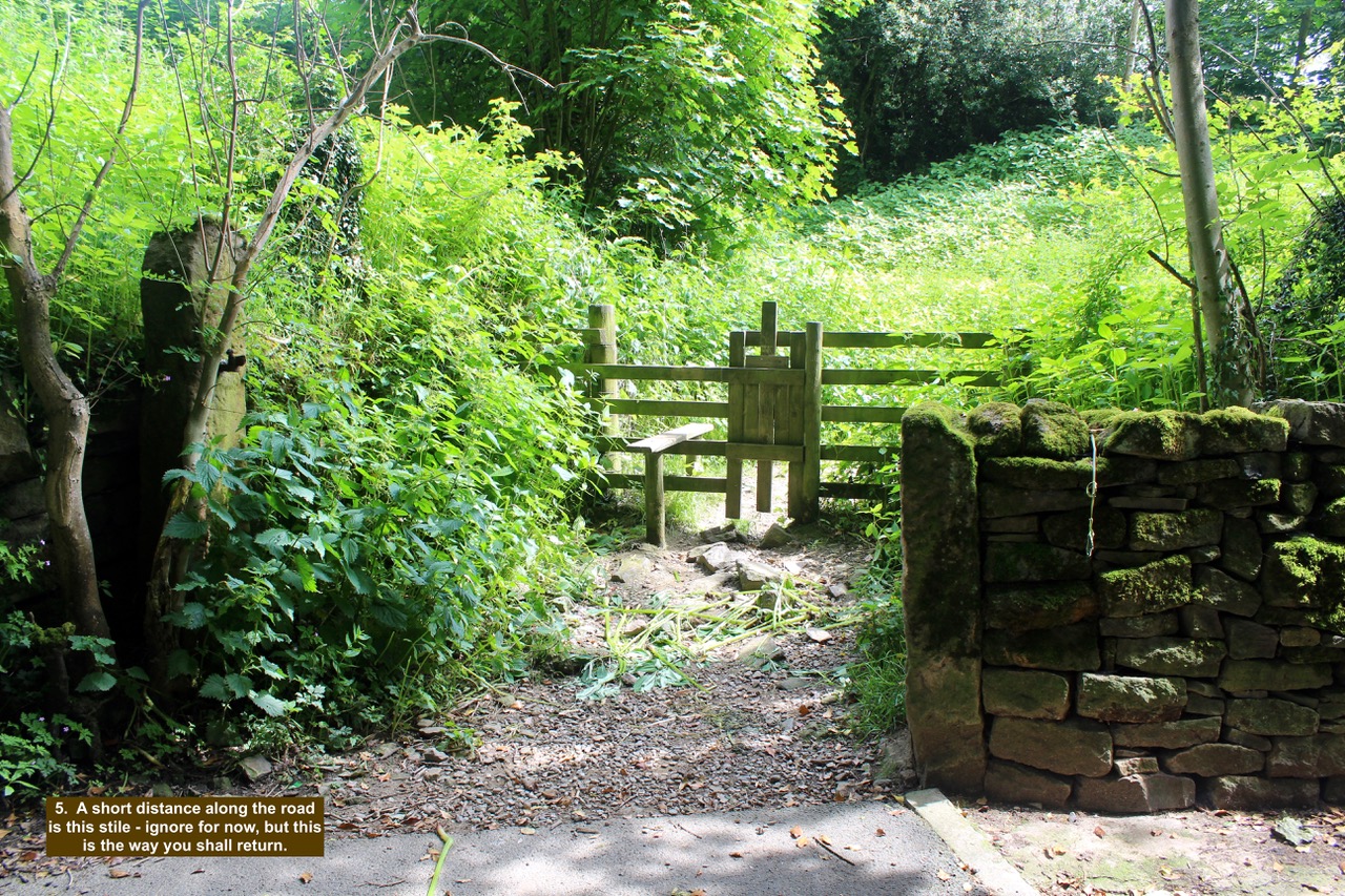
- 5. A short distance along the road is this stile – ignore for now, but this is the way you shall return.
-

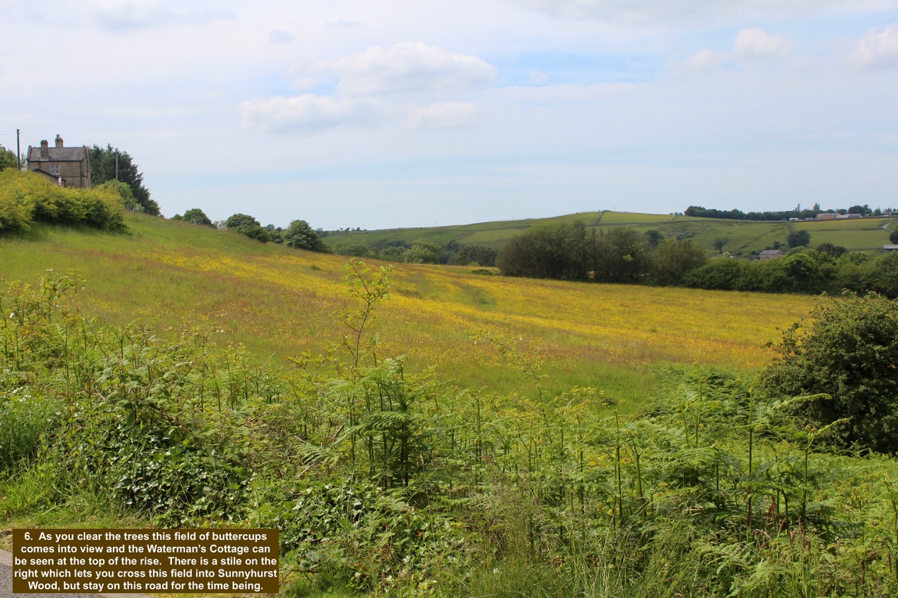
- 6. As you clear the trees this field of buttercups comes into view and the Waterman’s Cottage can be seen at the top of the rise. There is a stile on the right which lets you cross this field into Sunnyhurst Wood, but stay on this road for the time being.
-

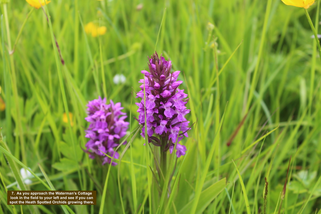
- 7. As you approach the Waterman’s Cottage look in the field to your left and see if you can spot the Heath Spotted Orchids growing there.
-

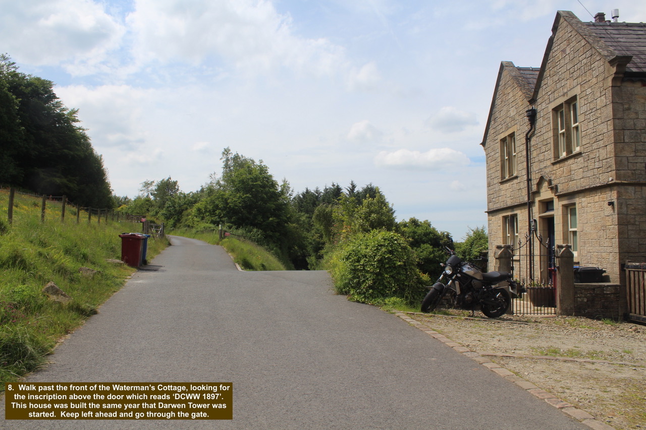
- 8. Walk past the front of the Waterman’s Cottage, looking for the inscription above the door which reads ‘DCWW 1897’. This house was built the same year that Darwen Tower was started. Keep left ahead and go through the gate.
-

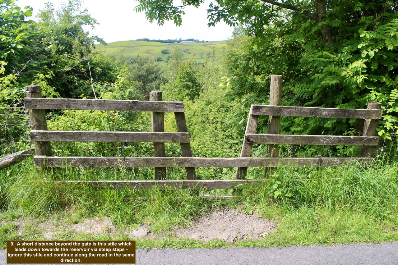
- 9. A short distance beyond the gate is this stile which leads down towards the reservoir via steep steps – ignore this stile and continue along the road in the same direction.
-

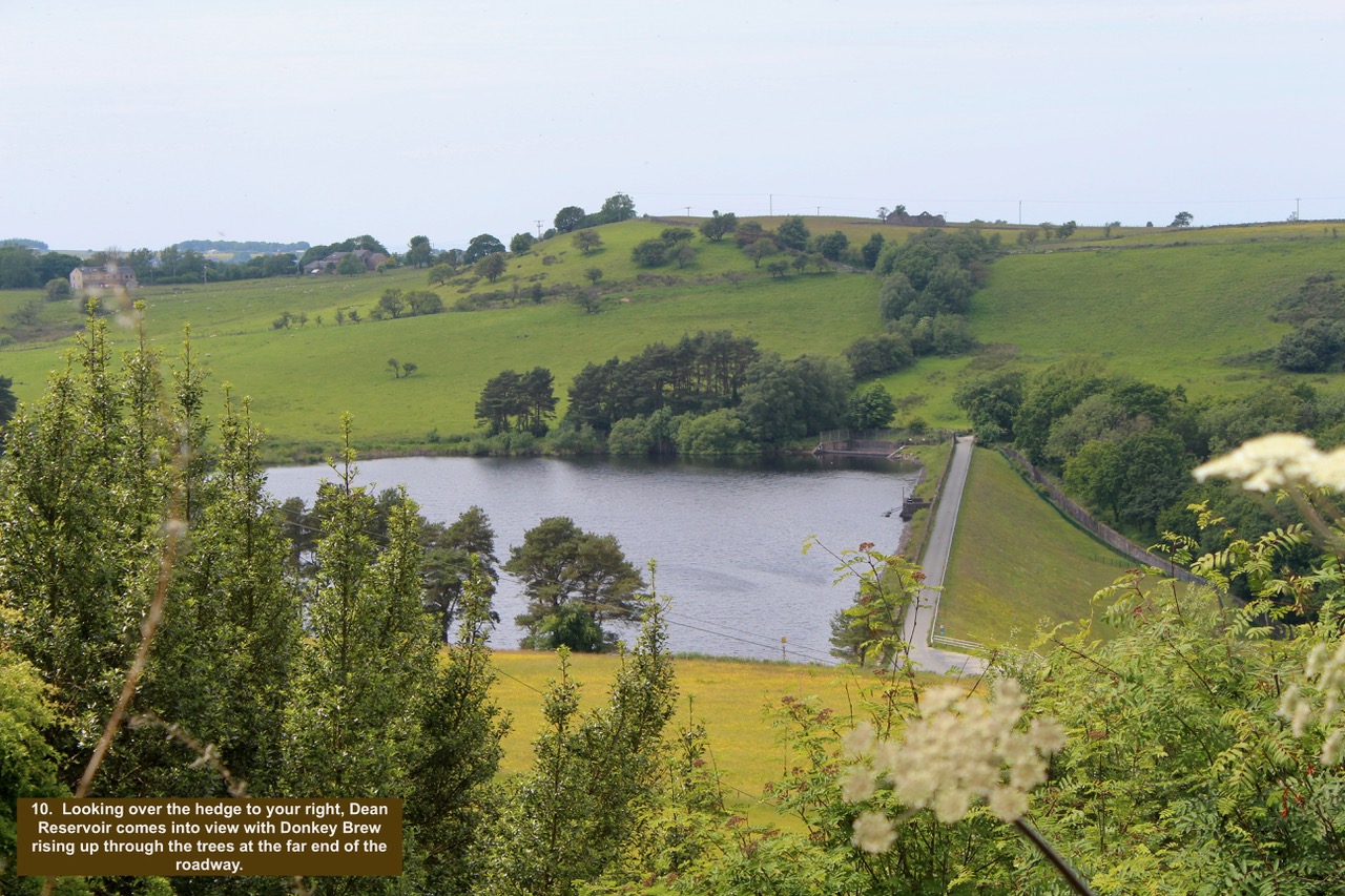
- 10. Looking over the hedge to your right, Dean Reservoir comes into view with Donkey Brew rising up through the trees at the far end of the roadway.
-

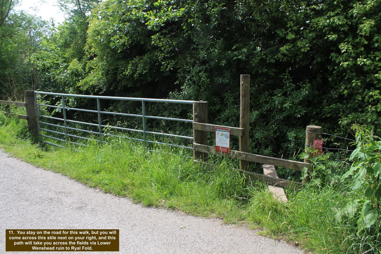
- 11. You stay on the road for this walk, but you will come across this stile next on your right, and this path will take you across the fields via Lower Wenshead ruin to Ryal Fold.
-

- 12. The road then opens up and you can see the vastness of the open spaces reaching across to Tockholes away to the right and on the left is Higher Wenshead Farm in the distance.

-

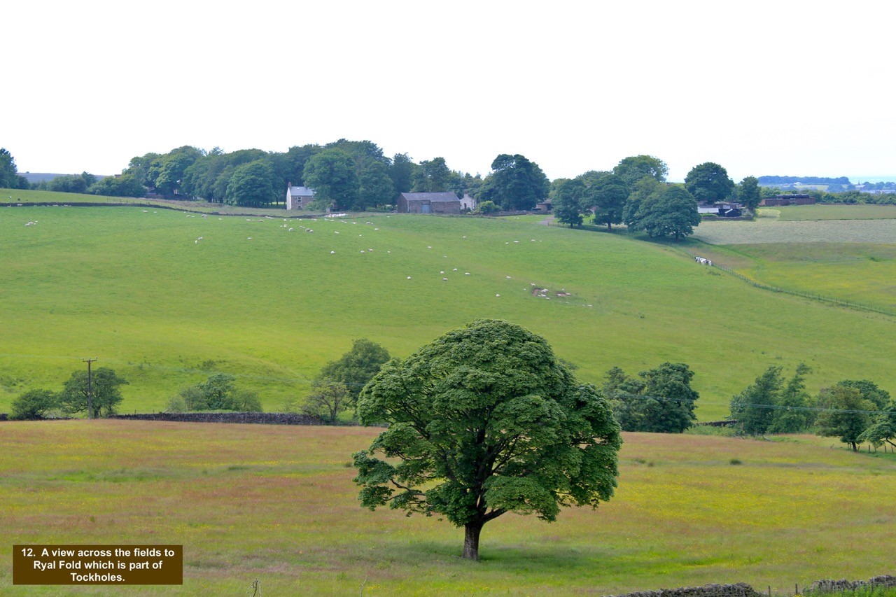
- 13. A view across the fields to Ryal Fold which is part of Tockholes.
-

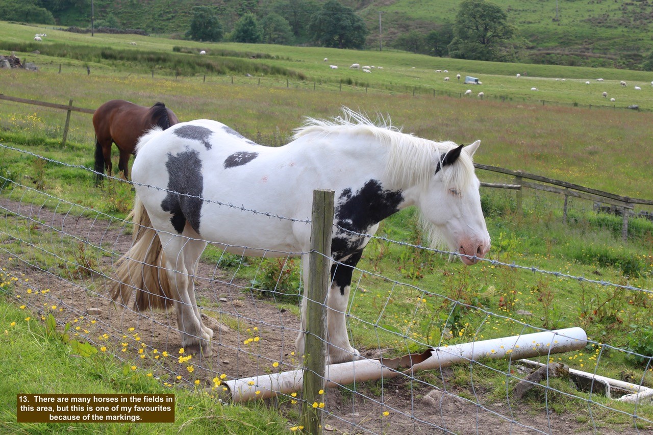
- 14. There are many horses in the fields in this area, but this is one of my favourites because of the markings.
-

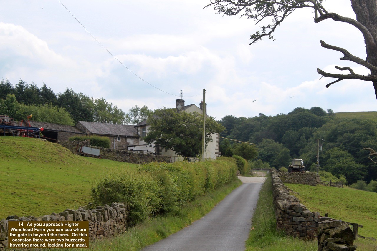
- 15. As you approach Higher Wenshead Farm you can see where the gate is beyond the farm. On this occasion there were two buzzards hovering around, looking for a meal.
-

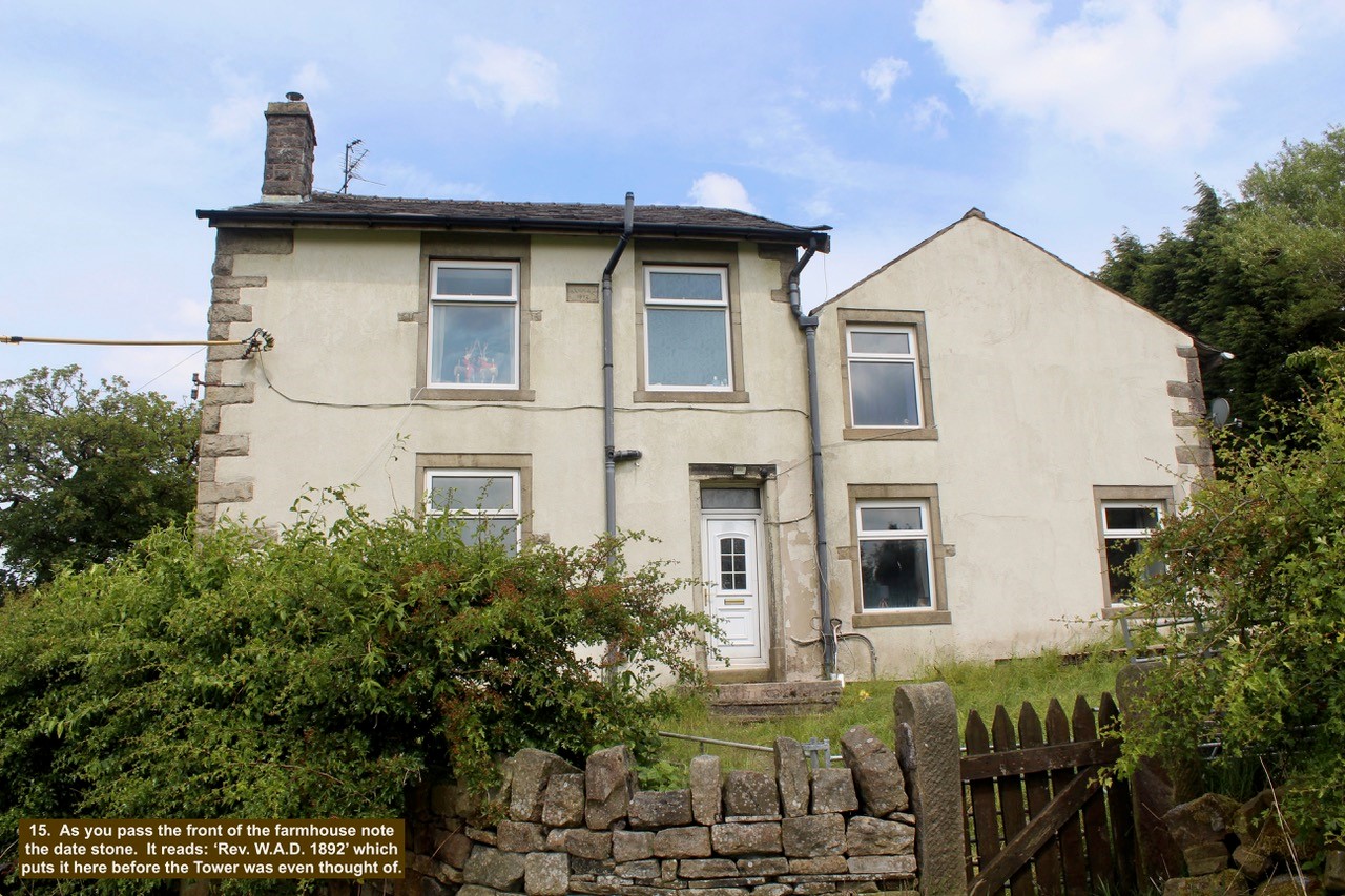
- 16. As you pass the front of the farmhouse note the date stone. It reads: ‘Rev. W.A.D. 1892’ which puts it here before the Tower was even thought of.
-

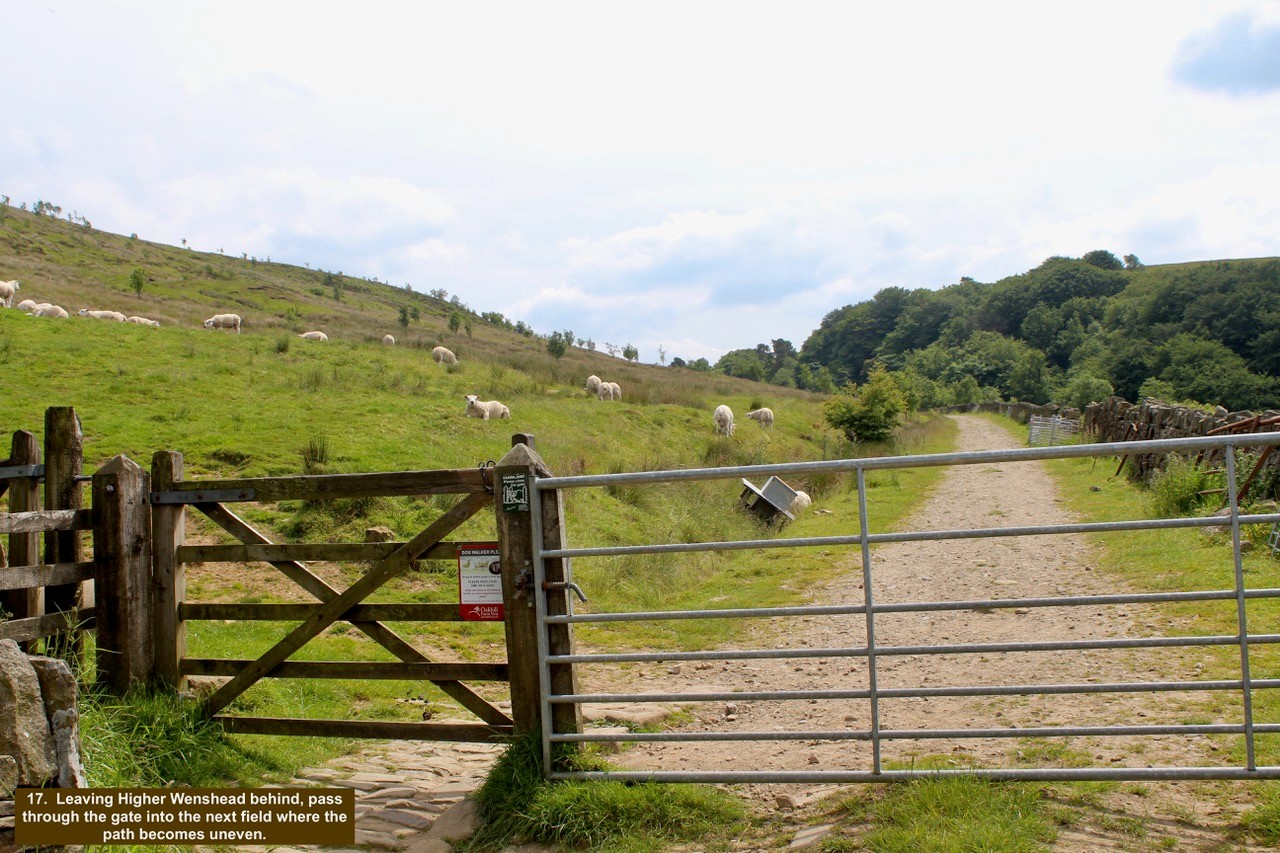
- 17. Leaving Higher Wenshead behind, pass through the gate into the next field where the path becomes uneven.
-

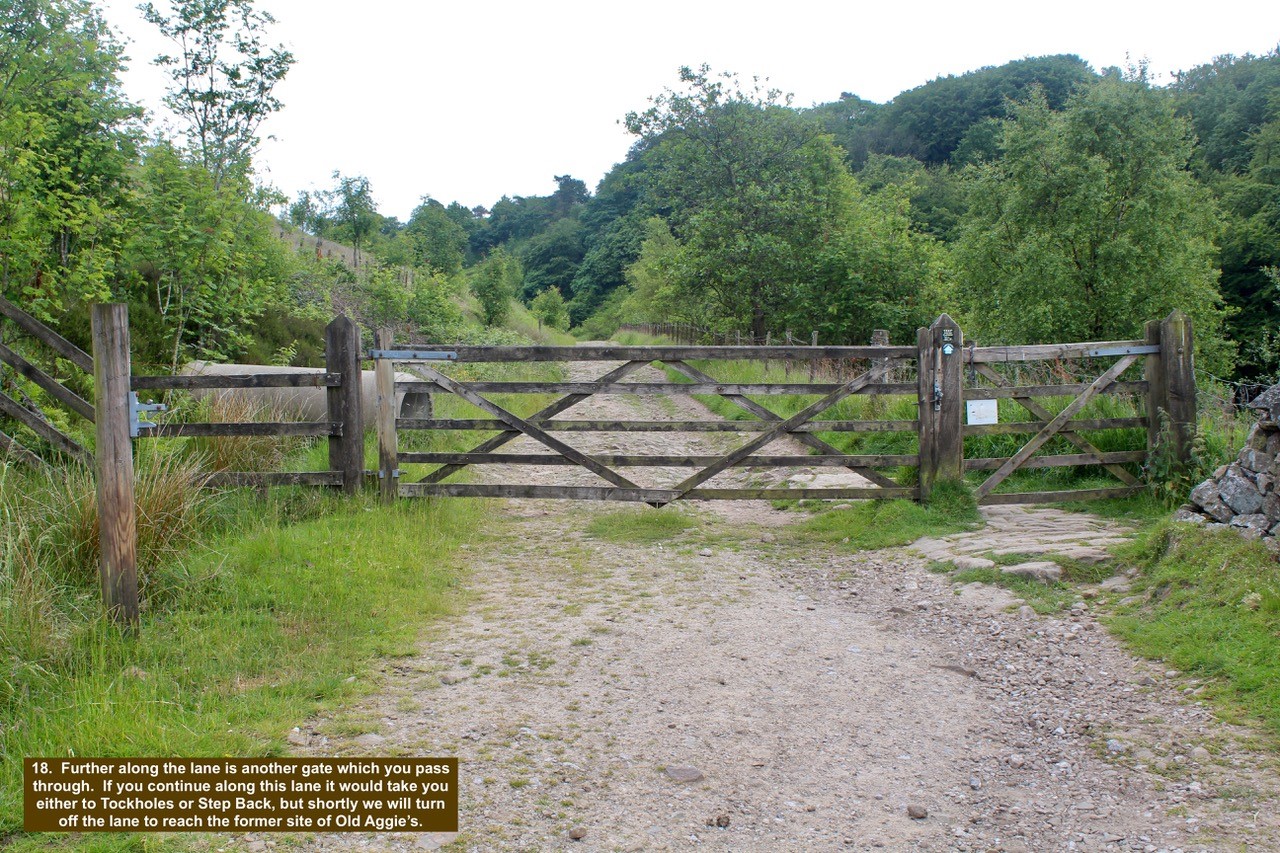
- 18. Further along the lane is another gate which you pass through. If you continue along this lane it would take you either to Tockholes or Step Back, but shortly we will turn off the lane to reach the former site of Old Aggie’s.
-

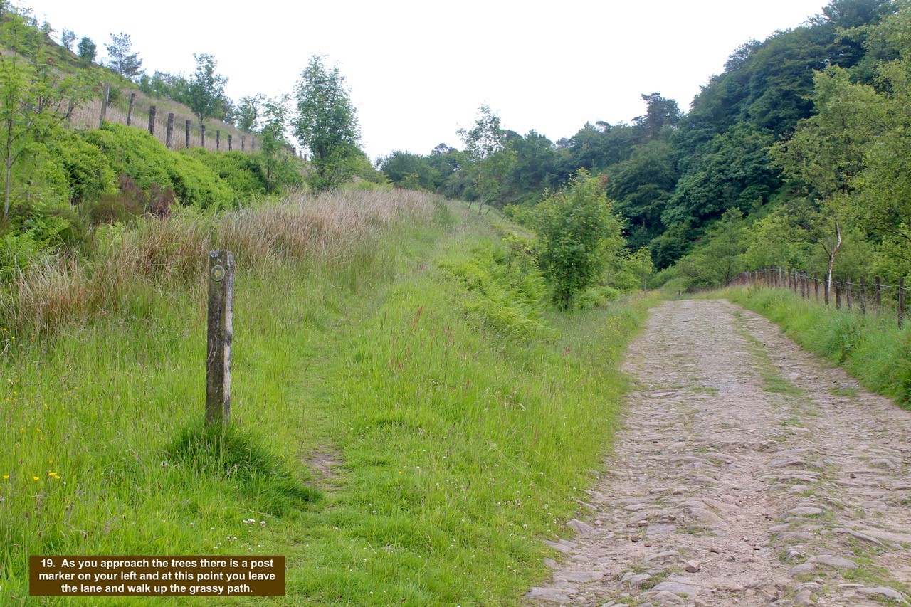
- 19. As you approach the trees there is a post marker on your left and at this point you leave the lane and walk up the grassy path.
-

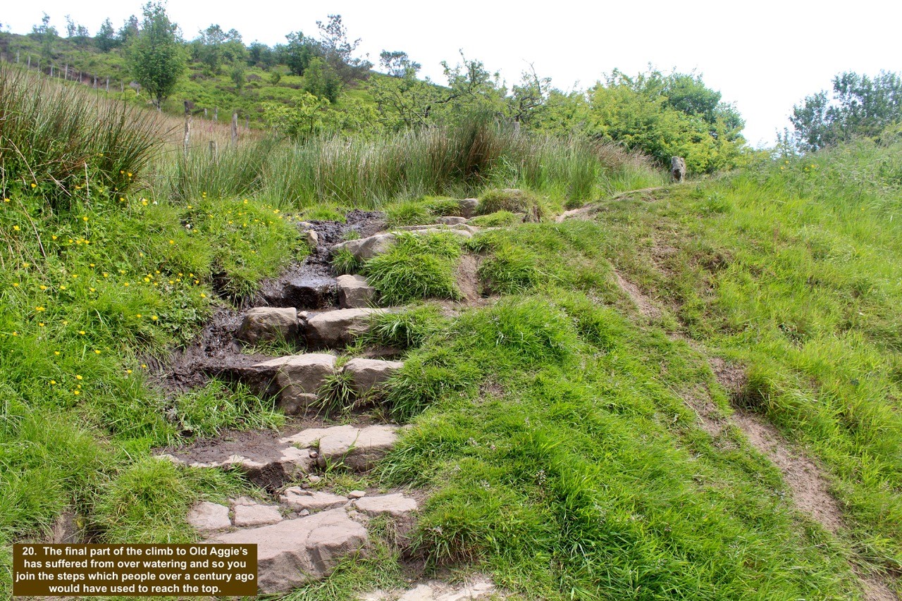
- 20. The final part of the climb to Old Aggie’s has suffered from over watering and so you join the steps which people over a century ago would have used to reach the top.
-

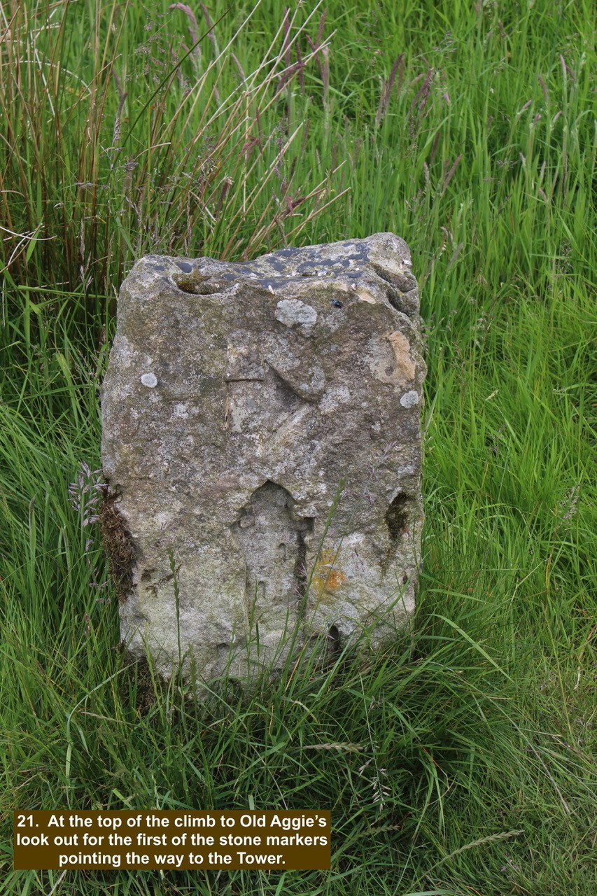
- 21. At the top of the climb to Old Aggie’s look out for the first of the stone markers pointing the way to the Tower.
-

- 22 All that is left of Old Aggie’s now are a few part walls of the property and a rumour of a murder.

-

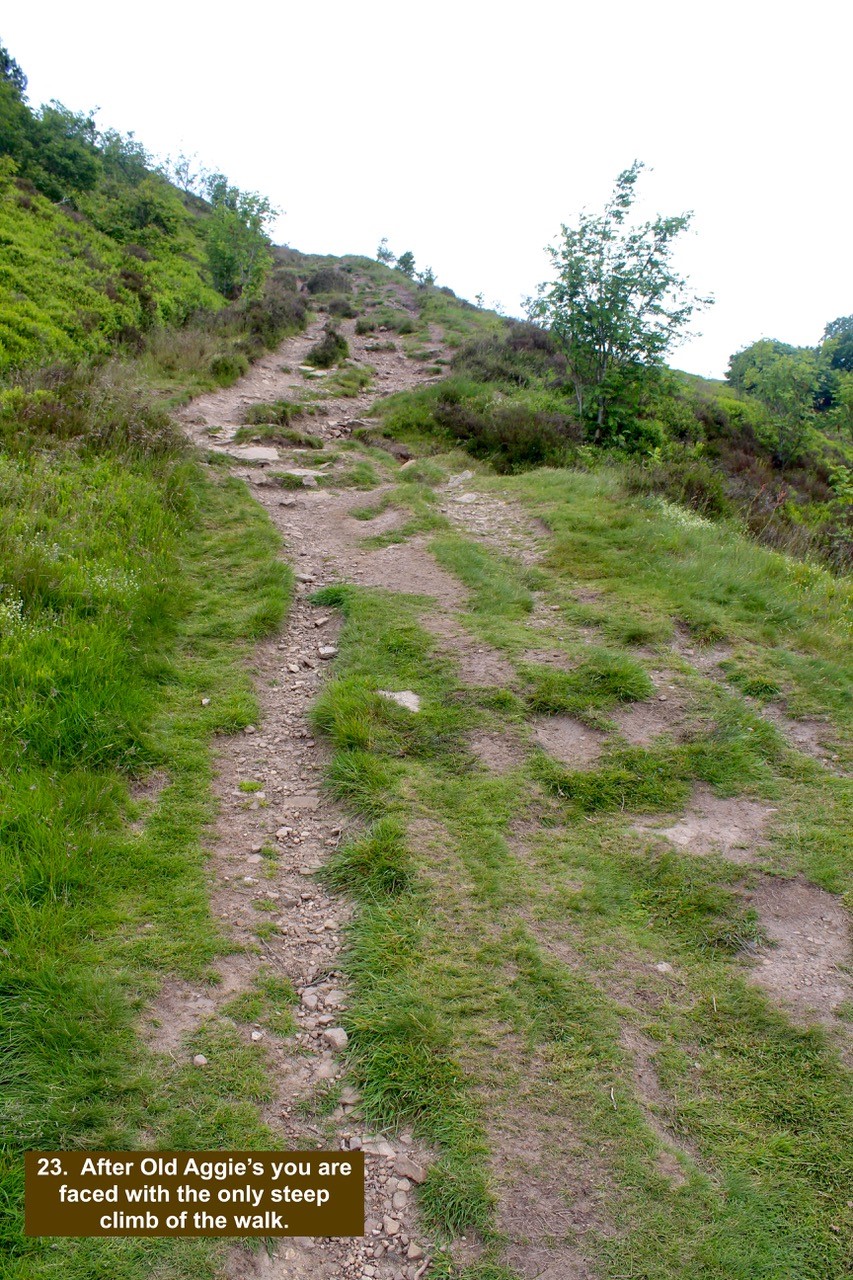
- 23 After Old Aggie’s you are faced with the only steep climb of the walk.
-

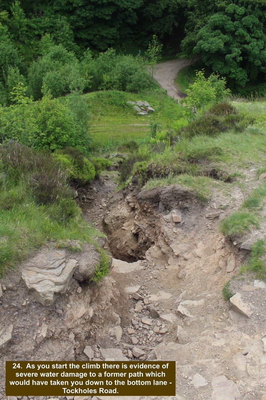
- 24. As you start the climb there is evidence of severe water damage to a former path which would have taken you down to the bottom lane – Tockholes Road.
-

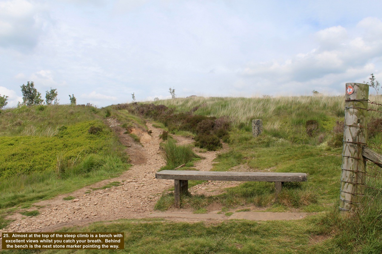
- 25. Almost at the top of the steep climb is a bench with excellent views whilst you catch your breath. Behind the bench is the next stone marker pointing the way.
-

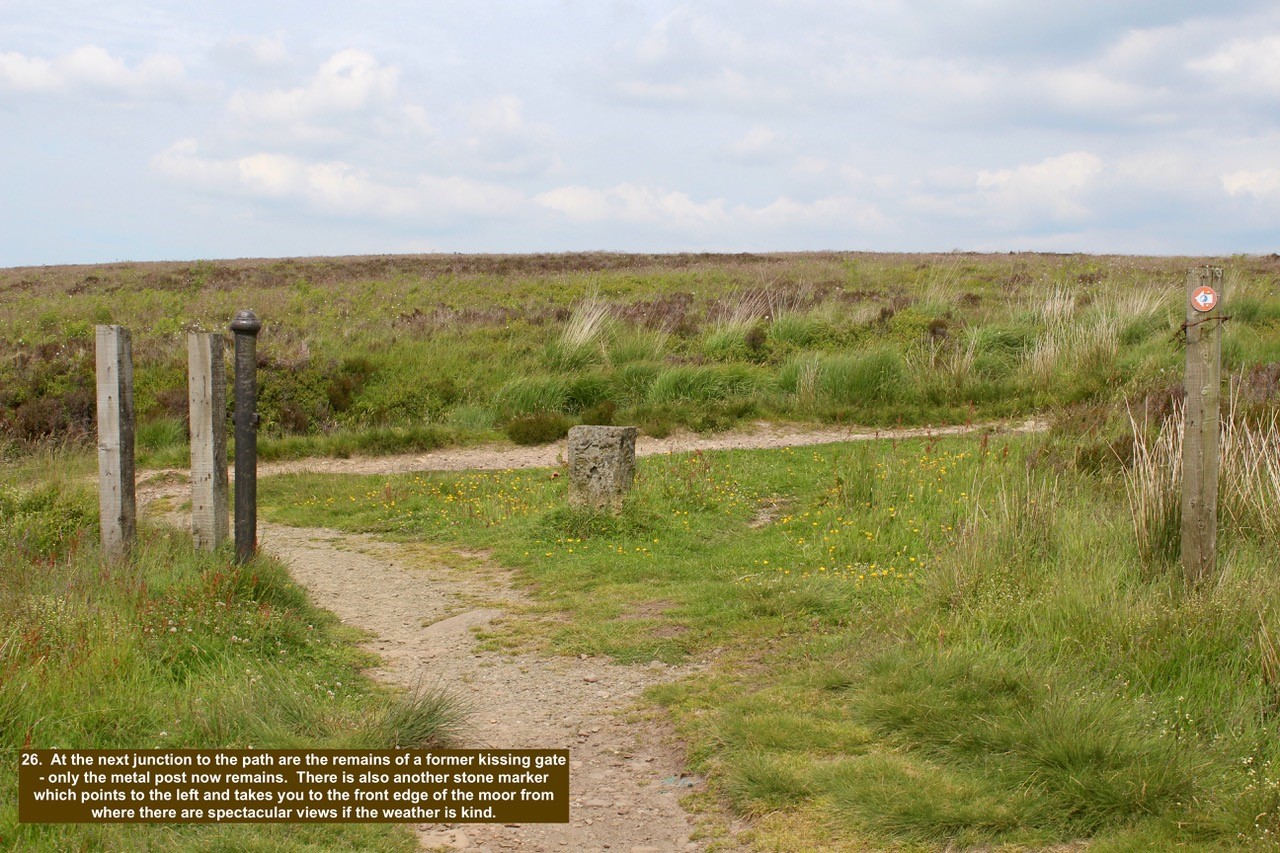
- 26. At the next junction to the path are the remains of a former kissing gate – only the metal post now remains. There is also another stone marker which points to the left and takes you to the front edge of the moor from where there are spectacular views if the weather is kind.
-

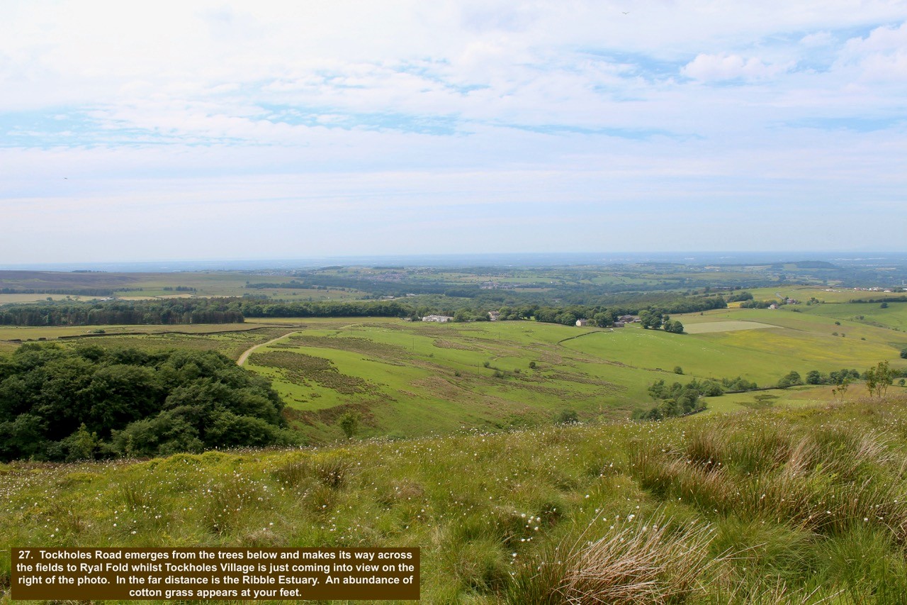
- 27. Tockholes Road emerges from the trees below and makes its way across the fields to Ryal Fold whilst Tockholes Village is just coming into view on the right of the photo. In the far distance is the Ribble Estuary. An abundance of cotton grass appears at your feet.
-

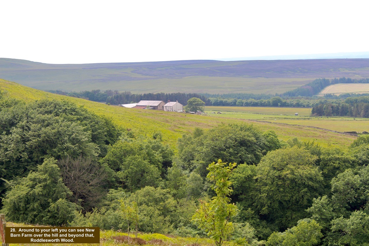
- 28. Around to your left you can see New Barn Farm over the hill and beyond that, Roddlesworth Wood.
-

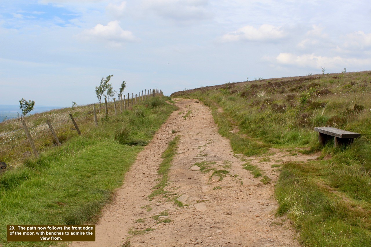
- 29. The path now follows the front edge of the moor, with benches to admire the view from.
-

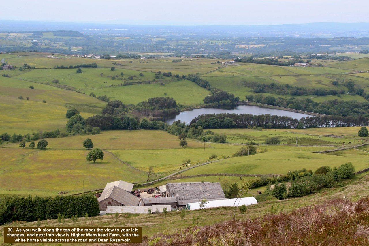
- 30. As you walk along the top of the moor the view to your left changes, and next into view is Higher Wenshead Farm, with the white horse visible across the road and Dean Reservoir.
-

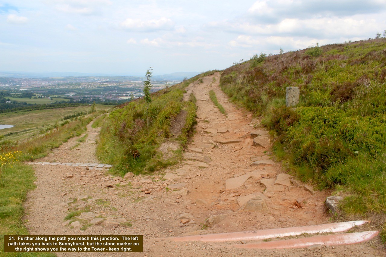
- 31. Further along the path you reach this junction. The left path takes you back to Sunnyhurst, but the stone marker on the right shows you the way to the Tower – keep right.
-

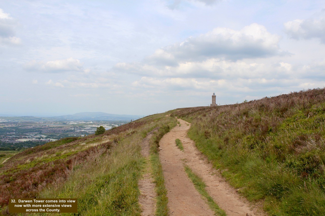
- 32. Darwen Tower comes into view now with more extensive views across the County.
-

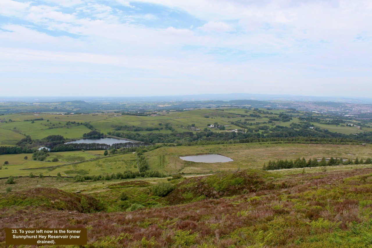
- 33. To your left now is the former Sunnyhurst Hey Reservoir (now drained).
-

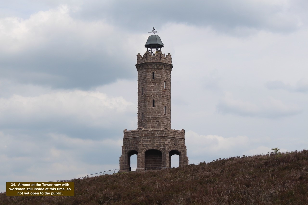
- 34. Almost at the Tower now with workmen still inside at this time, so not yet open to the public.
-

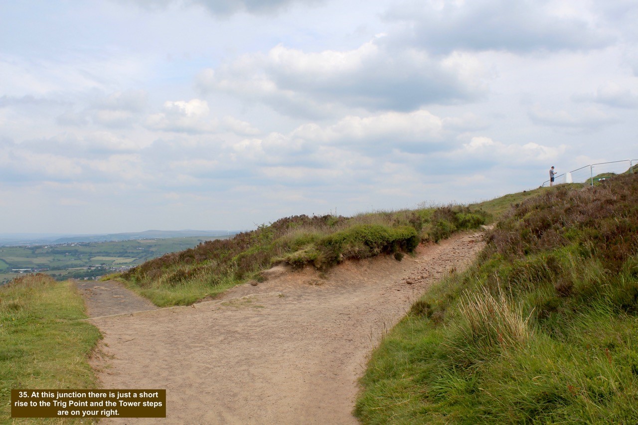
- 35. At this junction there is just a short rise to the Trig Point and the Tower steps are on your right.
-

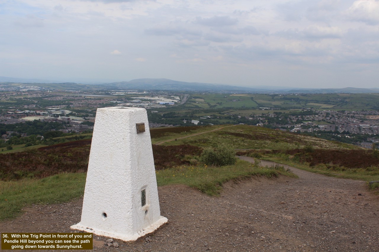
- 36. With the Trig Point in front of you and Pendle Hill beyond you can see the path going down towards Sunnyhurst.
-

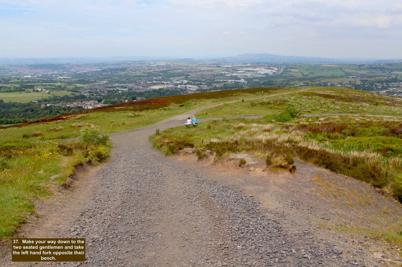
- 37. Make your way down to the two seated gentlemen and take the left hand fork opposite their bench.
-

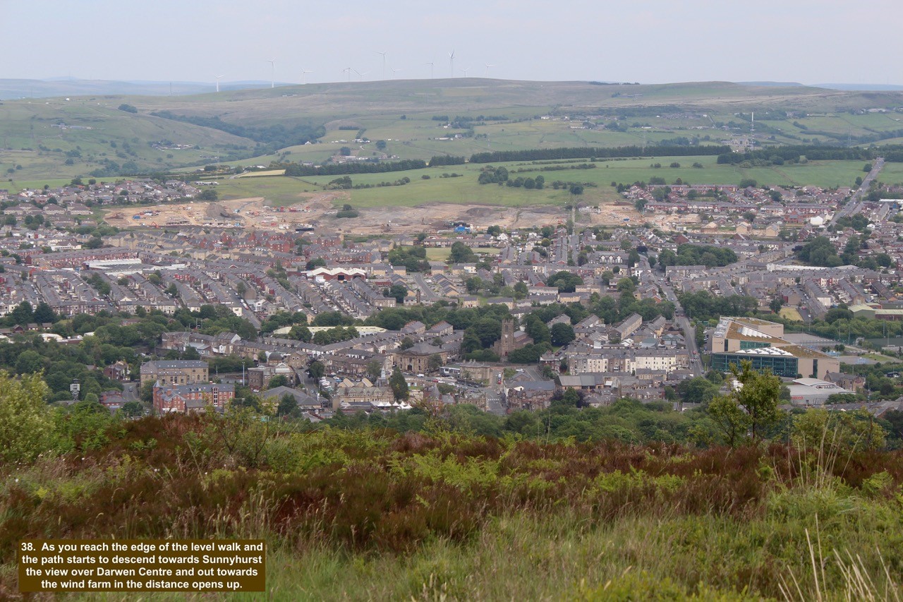
- 38. As you reach the edge of the level walk and the path starts to descend towards Sunnyhurst the view over Darwen Centre and out towards the wind farm in the distance opens up.
-

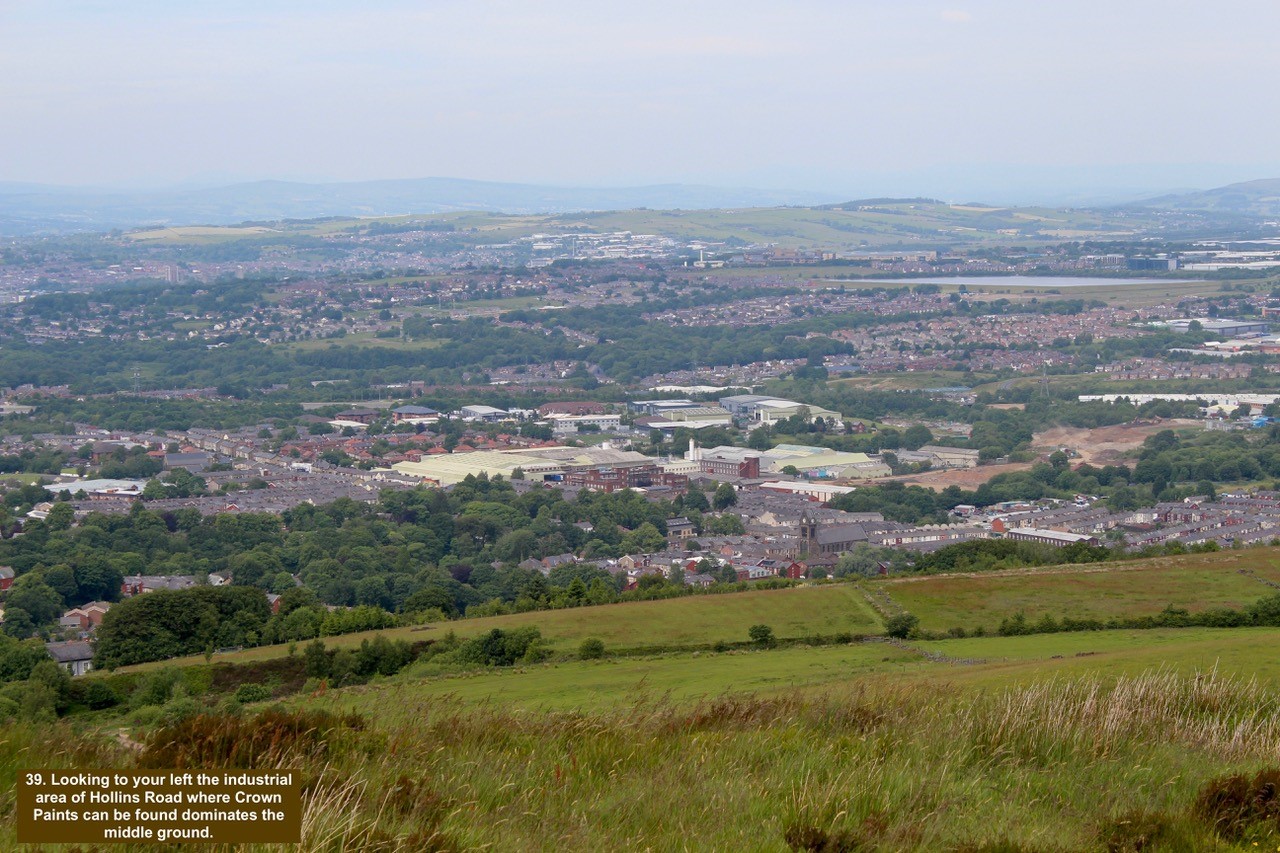
- 39. Looking to your left the industrial area of Hollins Road where Crown Paints can be found dominates the middle ground.
-

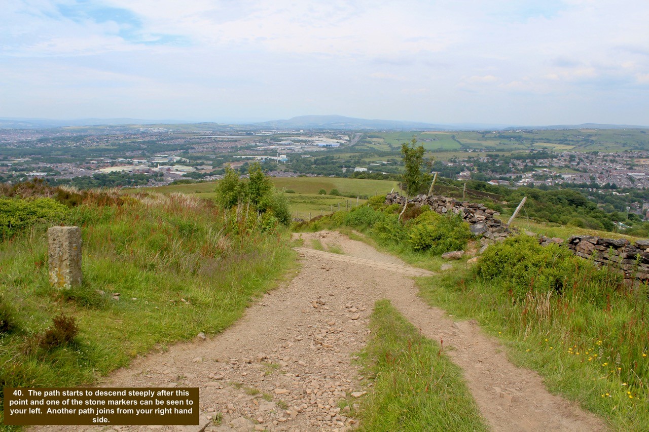
- 40. The path starts to descend steeply after this point and one of the stone markers can be seen to your left. Another path joins from your right hand side.
-

- 41. As you walk down the path and look to your right there is a clear view of India Mill and Chimney which shows the magnificence of the chimney.

-

- 42. Continue down the path and the gate which leads to Sniddle Hill Lane comes into view. Ignore this gate and continue down the path.

-

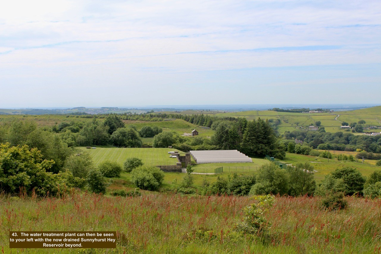
- 43. The water treatment plant can then be seen to your left with the now drained Sunnyhurst Hey Reservoir beyond.
-

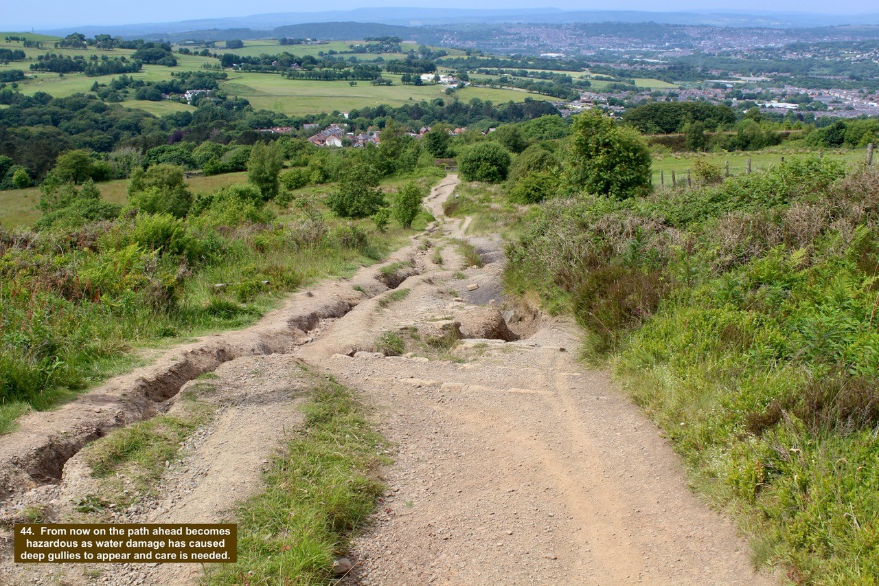
- 44. From now on the path ahead becomes hazardous as water damage has caused deep gullies to appear and care is needed.
-

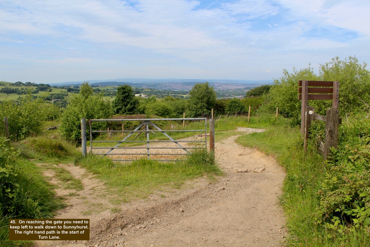
- 45. On reaching the gate you need to keep left to walk down to Sunnyhurst. The right hand path is the start of Turn Lane.
-

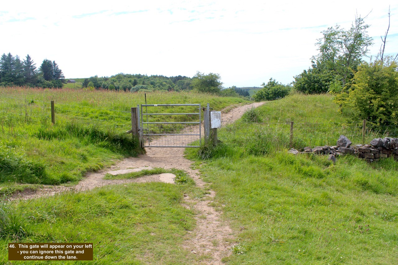
- 46. This gate will appear on your left – you can ignore this gate and continue down the lane.
-

- 47. The path continues down the hill and skirts the edge of the quarry to your right; now overgrown.

-

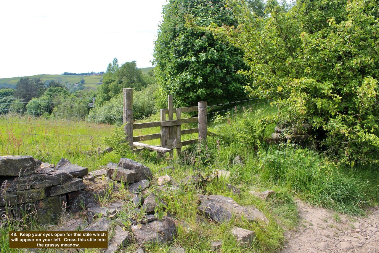
- 48. Keep your eyes open for this stile which will appear on your left. Cross this stile into the grassy meadow.
-

- 49. A bit like ‘Where’s Wally’, at this time of year with the grasses growing look for the Goldfinches hiding amongst the stalks eating the seeds. There are two in this photo.

-

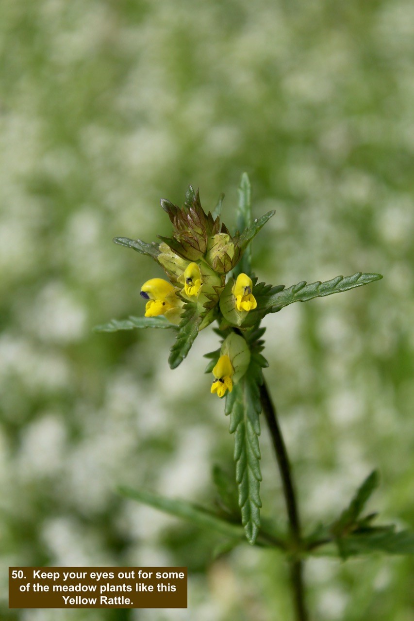
- 50. Keep your eyes out for some of the meadow plants like this Yellow Rattle.
-

- 51. Follow the path as it disappears into the trees ahead and note the Watermans Cottage in the distance.

-

- 52. This is the end of the walk – after climbing over this stile your car park will be visible opposite – turn right then first left and you are back at the start.
